News Detail
Franklin County Honored With Special GIS Achievement Award
GIS
August 19, 2024

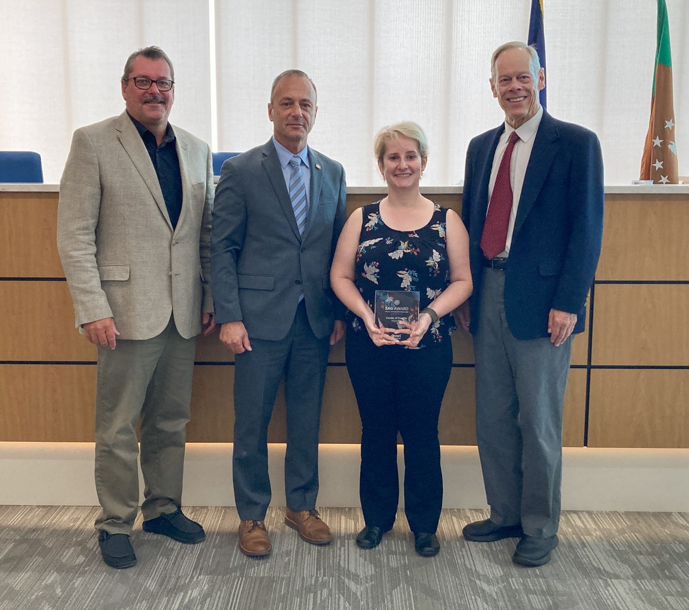
CHAMBERSBURG, Pa. – The Franklin County Geographic Information Systems (GIS) department is the 2024 recipient of the Esri Special Achievement in GIS (SAG) Award. Kara Shindle, director of Franklin County’s GIS department, received the award July 17 during the annual Esri User Conference in San Diego.
Franklin County was selected by Esri, the global market leader in GIS software, from an international candidate base of hundreds of thousands of Esri users. The award recognizes the county’s innovative use of GIS technology to implement a strategy to capture and communicate the value the GIS program brings to the residents of Franklin County by utilizing and expanding existing resources in a more efficient, fiscally responsible manner.
In 2019, Franklin County’s GIS department began gathering data on the capacity, capabilities and usage of its services within the county. The initiative expanded to include better resource and project management across county departments. It also helped to communicate the value and positive impact of implementing GIS technology into existing county processes. This ability to capture quantitative metrics and calculate a return on investment for individual GIS projects has translated not just into an increased use of GIS services, but it has allowed departments to be more efficient with their time and county resources.
The tools and methodologies Franklin County developed for this initiative have been so well received by the GIS community that Esri was inspired to develop similar initiatives and vendor-provided tools that are now available to Esri users worldwide.
“The Esri SAG Award represents a great deal of blood, sweat and tears that went into developing this project over several years,” said Shindle. “It started with an initiative to measure need and justify resource requests as well as to show the positive impact GIS has as a service within the county. To have it grow to the point where we not only received this award but have contributed to the global GIS profession – and to do so in a manner that demonstrates that value to the public – is immense.”
“We couldn’t be prouder to have Kara and our GIS department recognized for their hard work and innovation on an international level,” said Franklin County Commissioner Chairman Dean Horst. “We know how this innovative solution has improved efficiencies across our own county, and it’s gratifying to see it now used as a model for similar tools around the world.”
Franklin County was among more than 200 organizations from the commercial industry, defense, transportation, nonprofit, telecommunications and government sectors to be honored during the Esri conference.
“Users around the world are applying GIS in countless fields to take a geographic approach toward solving complex problems and global issues,” said Esri President Jack Dangermond. “It is my honor to recognize all these organizations for their innovative work integrating geospatial technology across industries, helping to build a better world.”
For more information on the Franklin County GIS Department and its services, visit www.franklincountypa.gov.

